
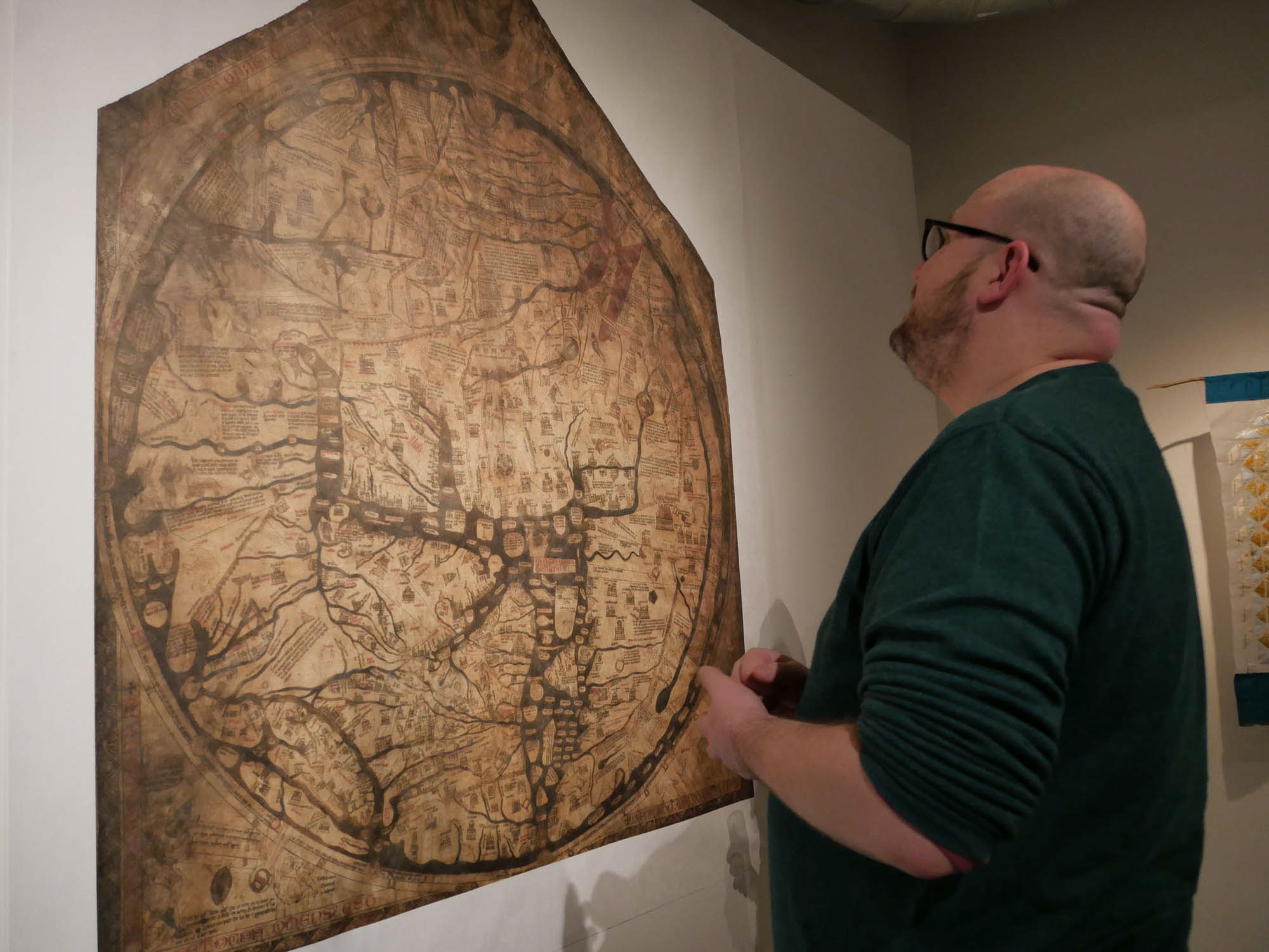
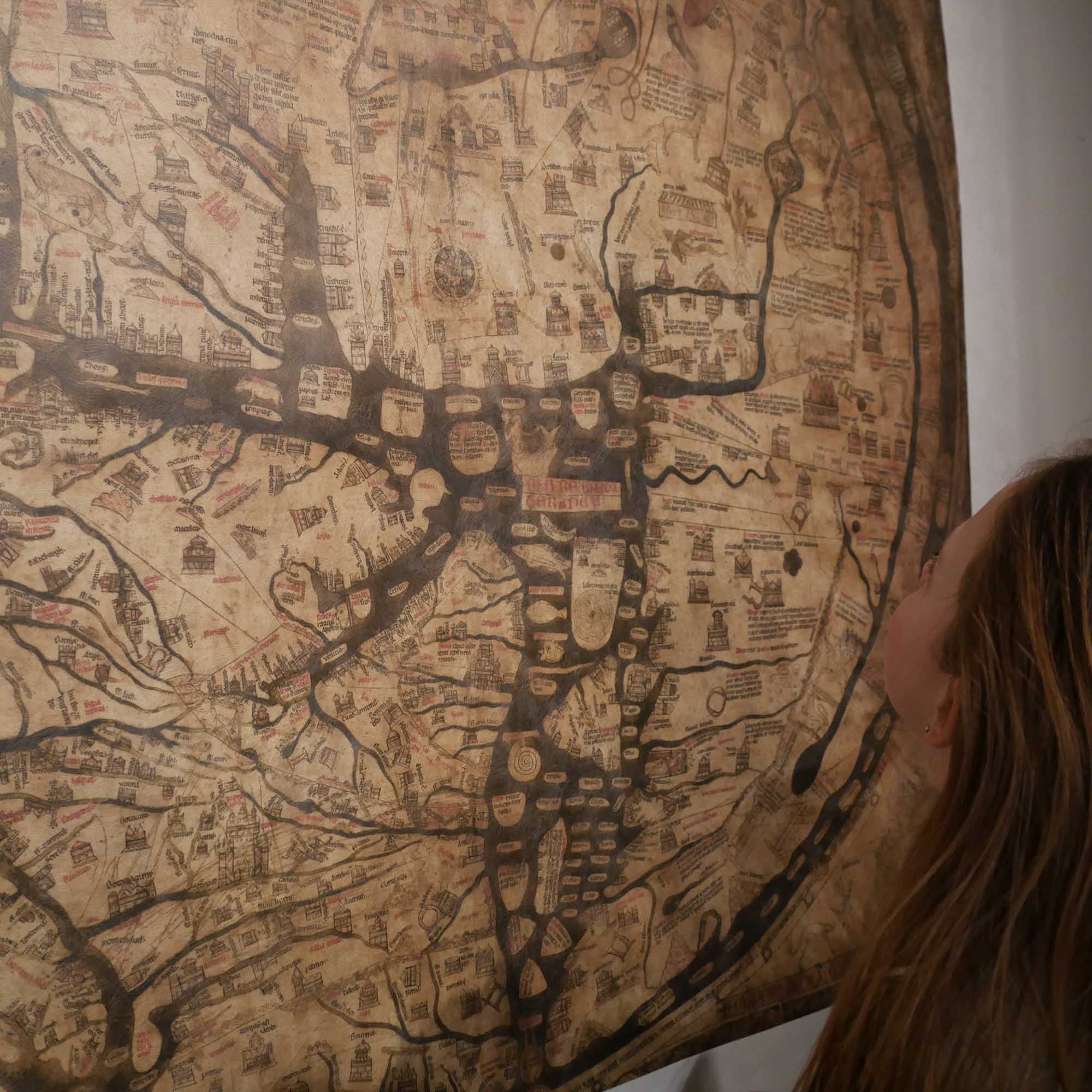
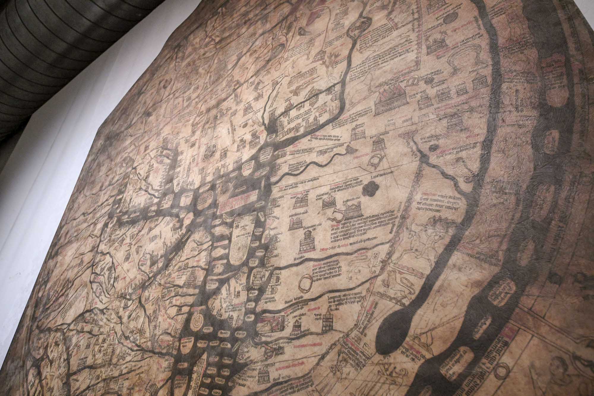
Hereford Cathedral’s infamous Mappa Mundi is a map of maps. It’s the largest surviving map of its time measuring 1.59 x 1.34 metres (5’2” by 4’4”). The map dates from about 1280 – 1300 and is made of a single sheet of vellum (calf skin).
In 2017 when I was invited to make an exhibition to help launch St Thomas Way between Swansea and Hereford, I was also given access to the Mappa Mundi and the people who look after it and who are experts on its history. It has proved a constant source of inspiration – the more I learn, the more intriguing the map becomes and the more questions it provokes.
A:B or T:O?
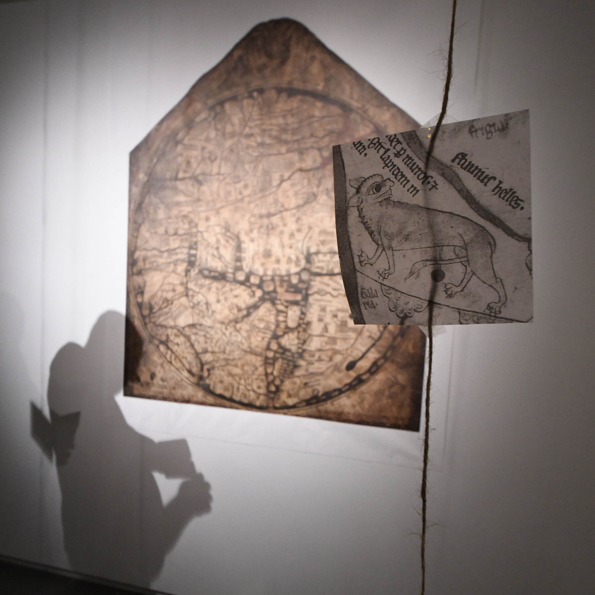
It’s not really a map in the sense we think of maps today. With Jerusalem at its centre and the British Isles squished on the very edge of Europe, it wasn’t designed to get you from A-B. Instead, the map is a classic ‘T-O’ of the period. Within the circle or ‘O’ of the map, there’s a ‘T’ shape divider, with the east above it, Europe to the left and Africa to the right. The river Nile is clearly visible running down the right-hand side and the Mediterranean spreads across the centre. You can clearly see the island of Crete with its famous labyrinth and if you look closely, Rome and other cities along its banks.
Full of Stories
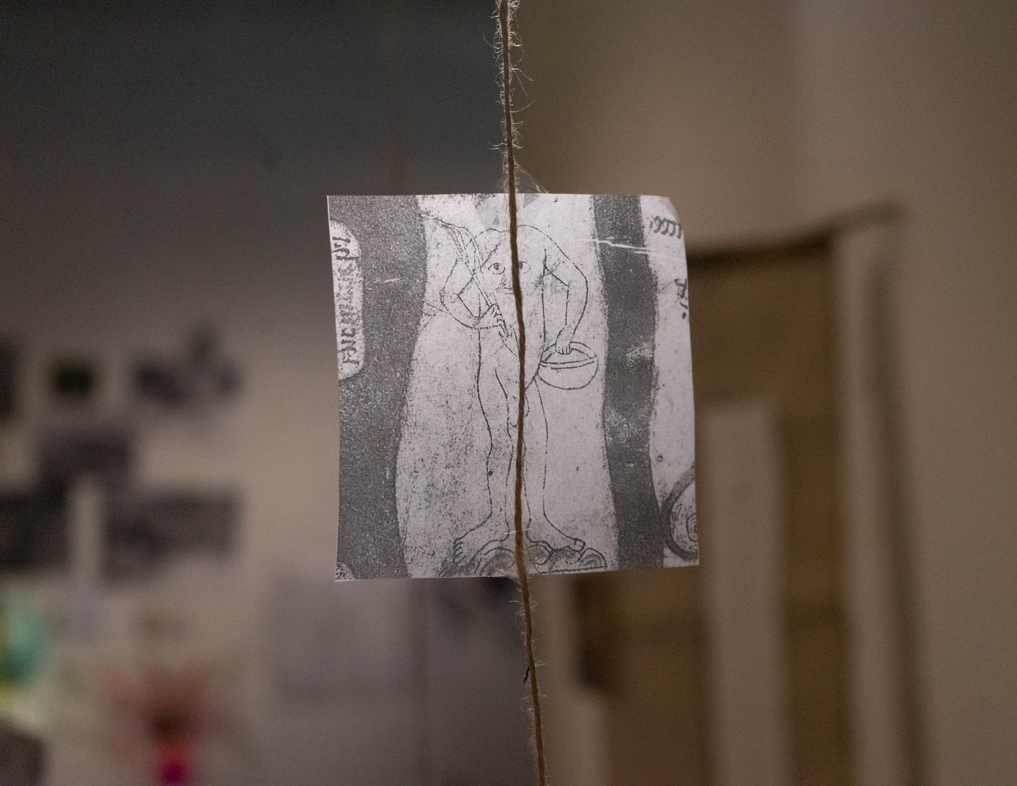
However, the map had another purpose than showing what was where. It was an incredible storytelling tool. Look closely and the stories unfold before your eyes, with characters from mythology, the Bible, folklore and no doubt, the imagination. There are over 80 strange animals and beasts inhabiting far-off lands and seas – a full medieval bestiary ranging from unicorns to flying fish. There are perhaps even stranger races of people, with unfamiliar appearances and customs – peoples with no heads, with eyes in their chests and also those with one giant foot (which they use to shade themselves from the hot sun). And there are stories galore – you can trace the Exodus from Egypt, the ascension into Heaven – just join the dots on this map and you can read all sorts of things from its pictures and inscriptions.
True or False?
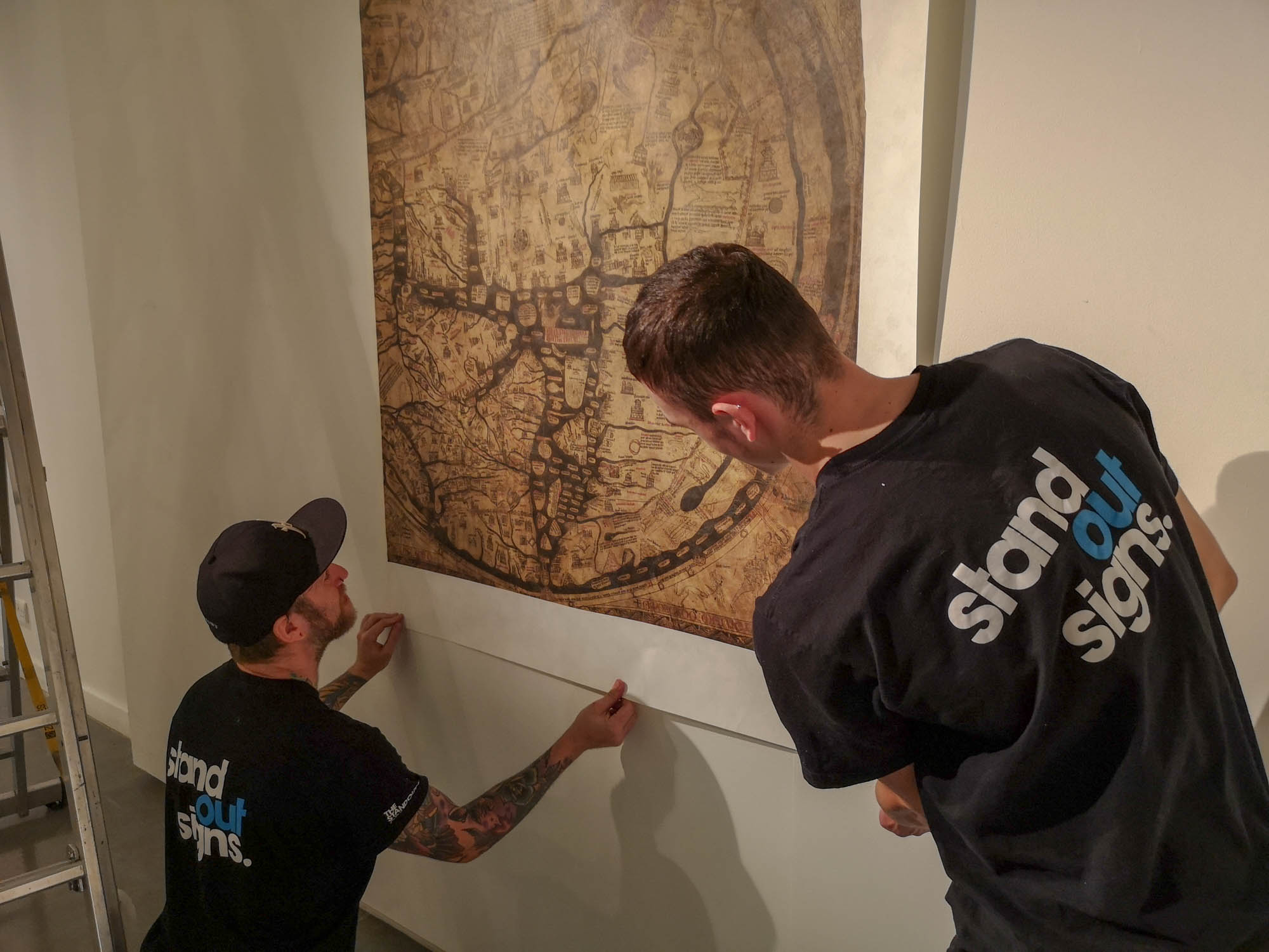
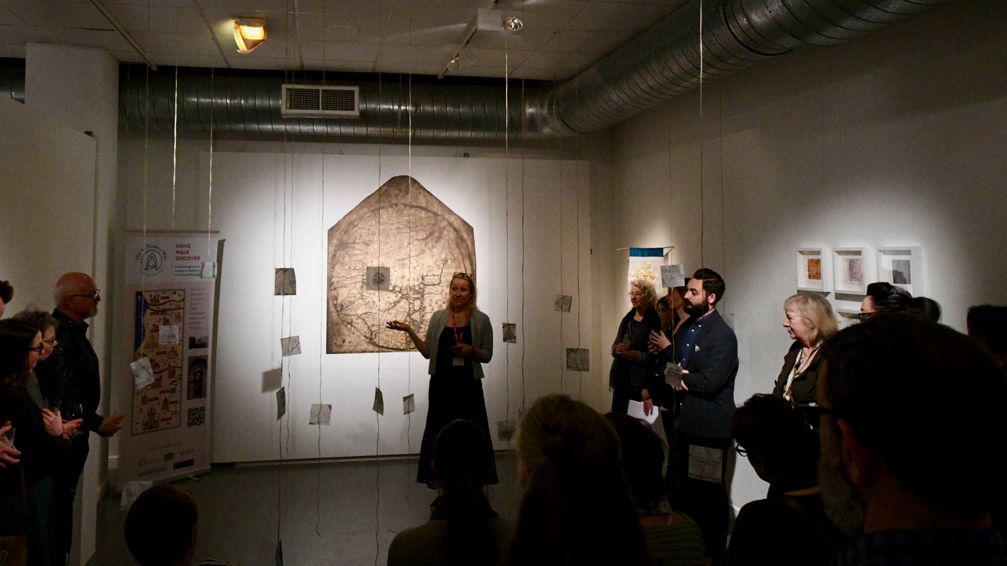
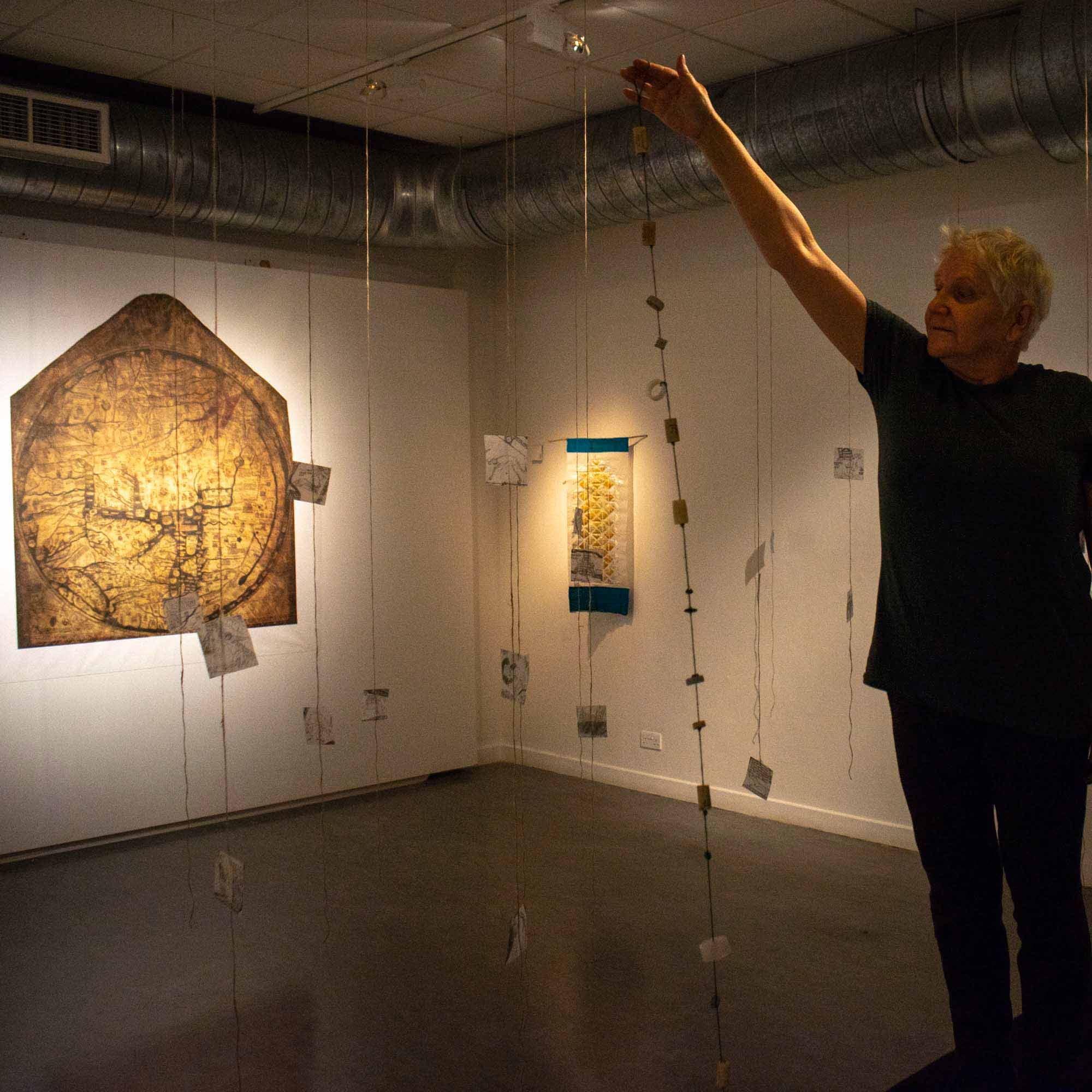
Since this map is so fascinating, I wanted to include it in this exhibition somehow – I wanted people to be able to stand up close to it and marvel like I have. Hereford is about a 4-hour drive from Poole, so it isn’t exactly just up the road to go and visit the real thing. I asked Hereford Cathedral if I could borrow a life-size copy for the exhibition and discovered that there isn’t one. There’s a 90% truly accurate copy by the Folio Society but that’s so valuable I’d need to protect it day and night. But understanding the importance of the map itself to my own work and this show, they kindly allowed me to make my own copy.
Medieval x Modern
So, I selected one of the hi-res images I’d been given during my research at Hereford and went online. This really was Medieval – Modern! I chose a textured wallpaper, dimensions and delivery date, put my card details in and pressed ‘Confirm Order’. I was so excited though that I phoned up the company the next day to tell them what they were actually printing – ‘it’s the Mappa Mundi, one of the most treasured maps in the world!” I think they were suitably amused.
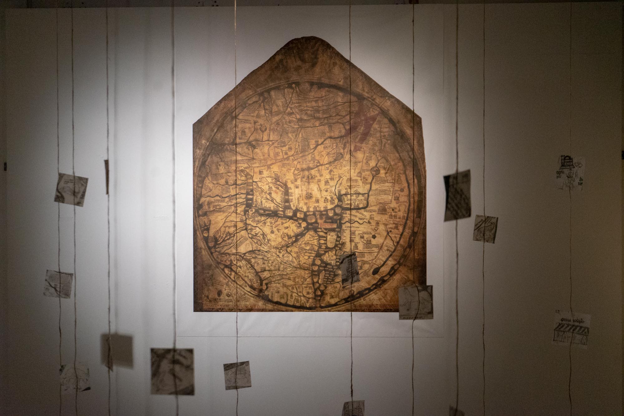
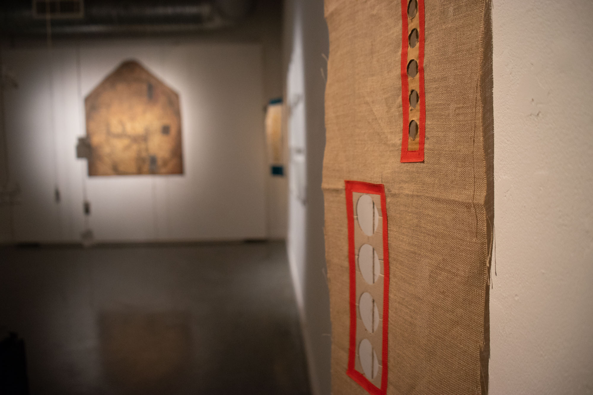
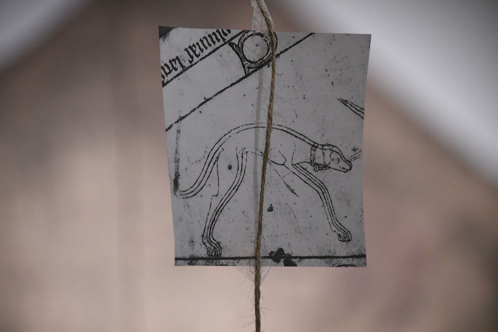
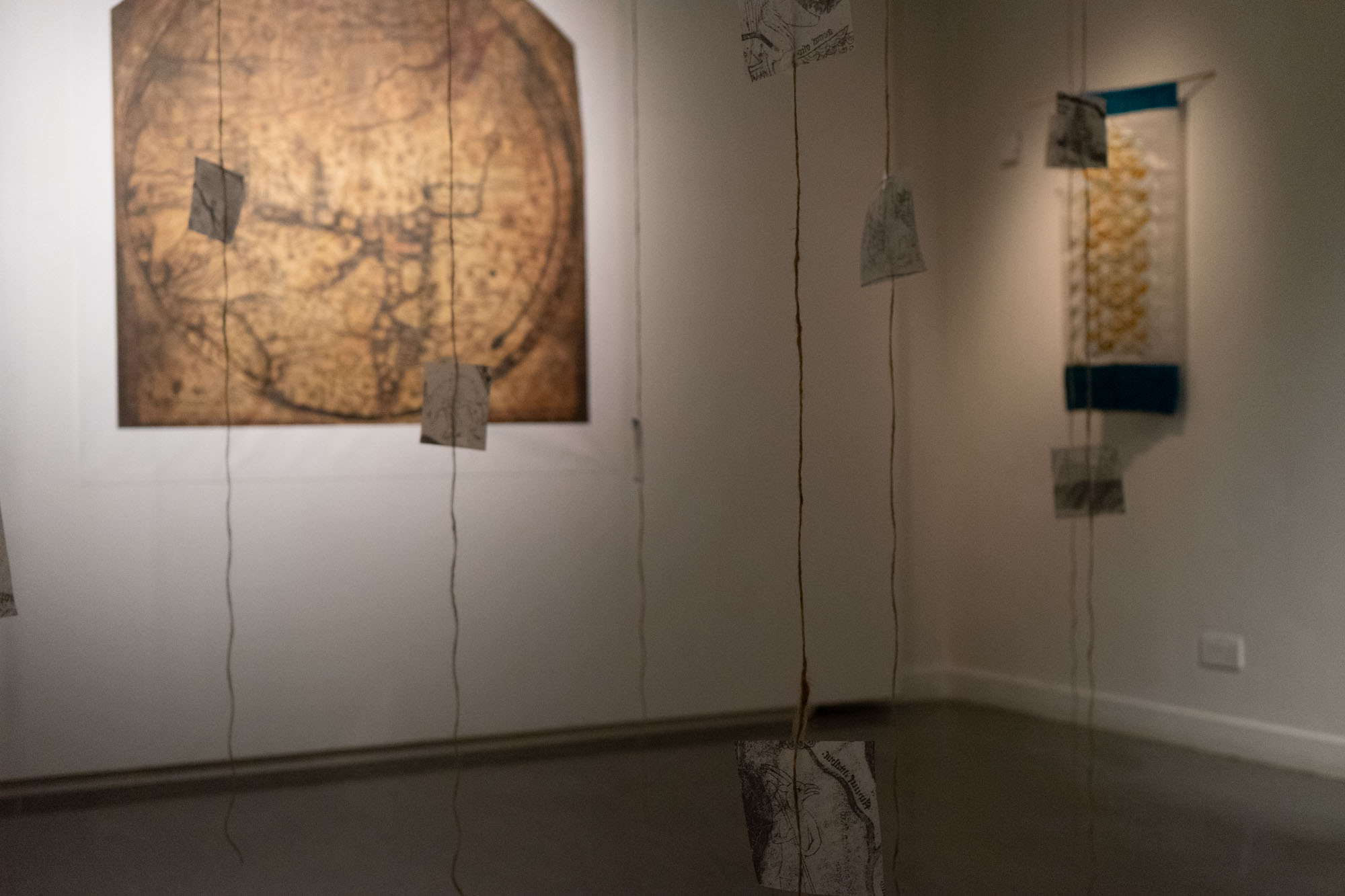
And 5 days later, it arrived in a tube at the gallery. We hung it in its own particular space and spent a good while getting the lighting right. I hung a ‘forest of string’ in the space that visitors had to navigate on their way to the map – to slow them down really. I printed close-ups of details from the map onto tracing paper and hung them from the strings. People loved it, the whole experience and once the conversations had started, they just kept going through the 5 weeks of the show. I hope Hereford has had a string of extra visitors since as a result too – many people told me they would love to go visit the real map.


To me this is incredible – one digital image printed onto a textured paper bringing a whole treasure trove of world history right here, right now. I’ve since brought the map along with me when running workshops for schools and churches along St Thomas Way, so it continues to be the star of the show inspiring and delighting like it always has…
Gracias
Thanks to Hereford Cathedral, Arts Council England, the University of Southampton and Lighthouse Poole for making all of this possible. An
Visit the original Mappa Mundi at Hereford Cathedral – it’s well worth the visit!