
Re-Framing Our World – Medieval & Modern Mapping
The Map of Mundi Exhibition: One of 5 Weekly Themes
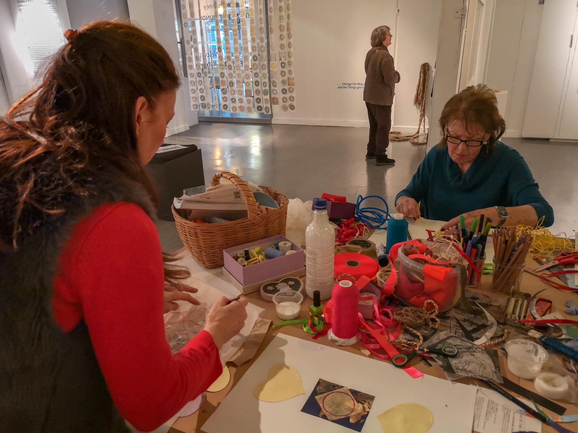
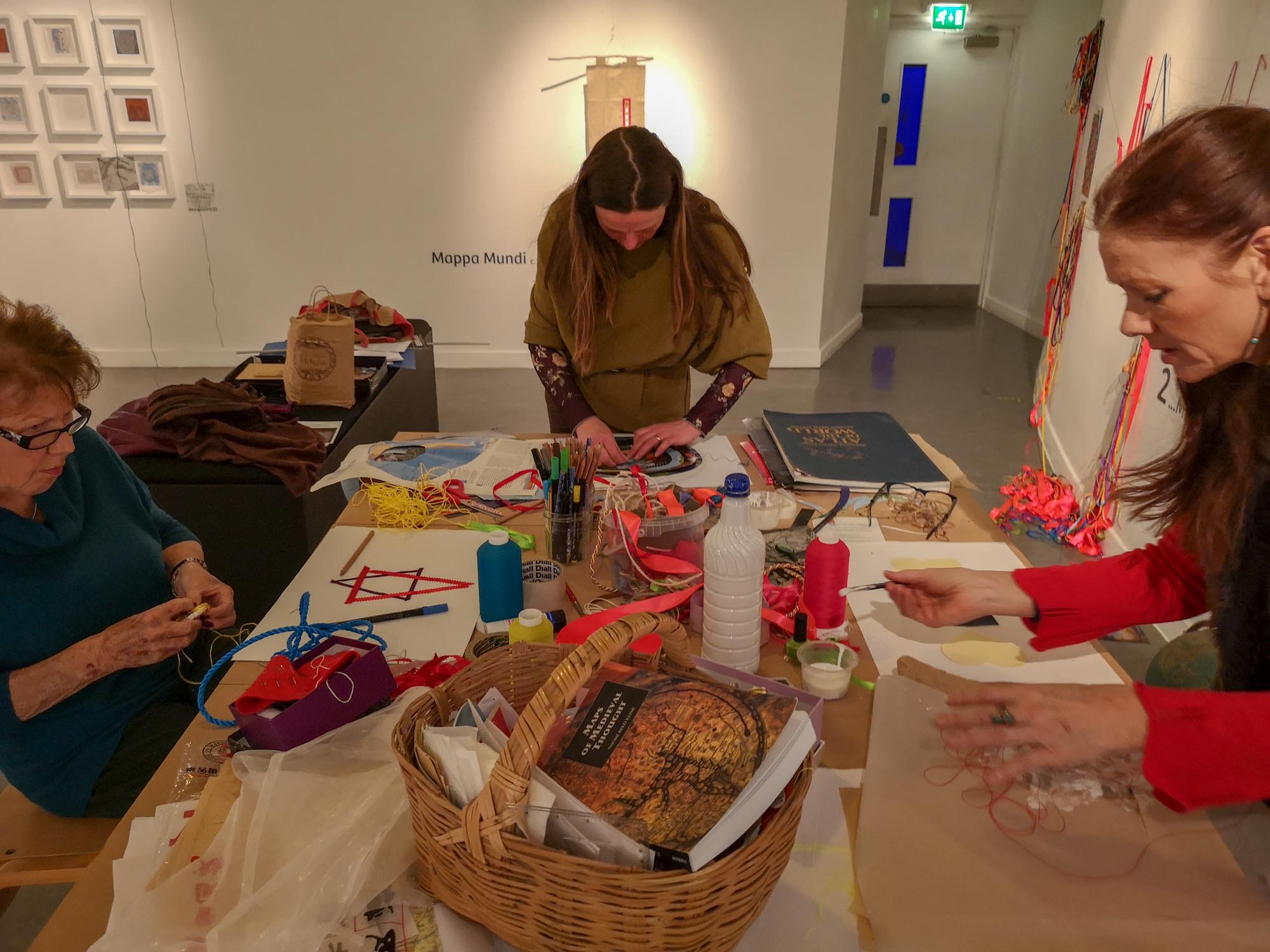
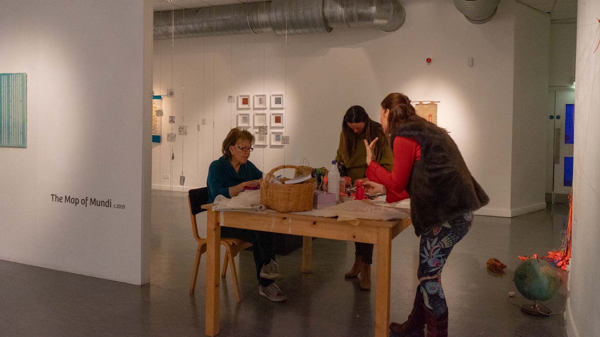
I was in the gallery 3 days per week, working – exploring a different theme each week, engaging with visitors and running workshops for both the public and for special groups:
Week 2 theme:
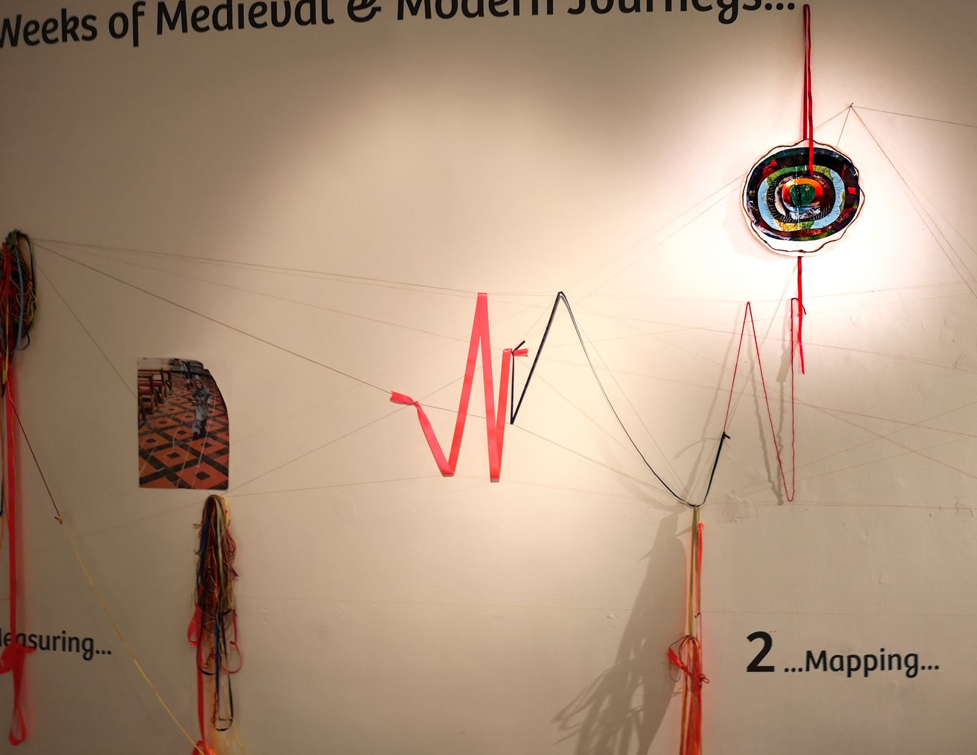
Medieval & Modern Mapping
Arguably, the 13th century Mappa Mundi wasn’t a map at all, but a storytelling tool to explain the known and unknown worlds. Using the Mappa Mundi and local Google StreetView as possible starting points, learn to make sense of your surroundings and your relationship to it in different ways. Challenge what a map is for and how it helps you make a journey. Map a personal ’pilgrimage’ and see what unfolds… a creative mapping workshop that will give you new tools to use when you next make a journey, either real or imagined.
Intention:
My idea here was to invite in local makers, artists and people with an interest in mapping such as illustrators and cartographers. Possibly Ordnance Survey (based in Southampton), Google Maps, Google Streetview, 360 photographers, drone photographers/videographers…
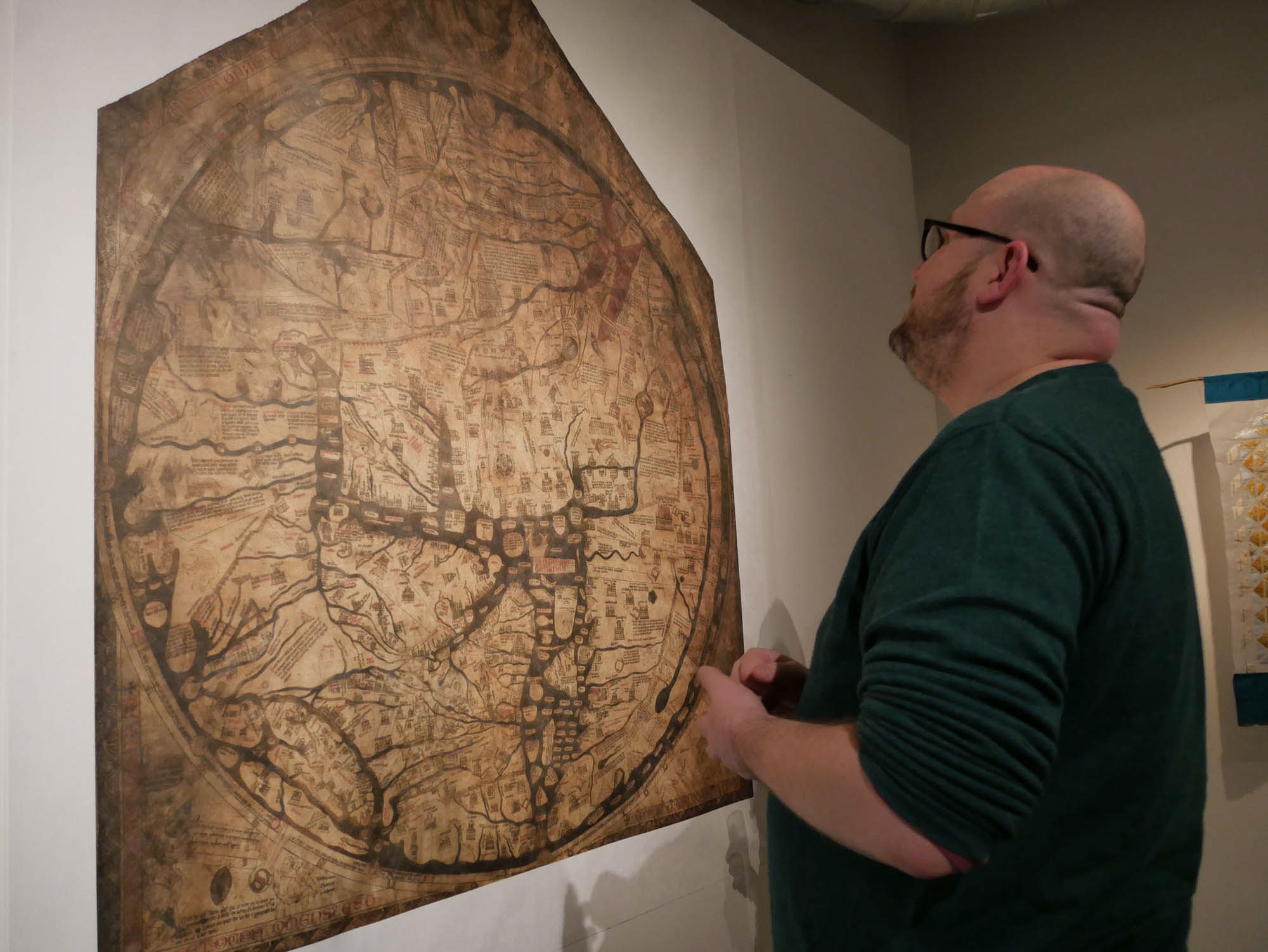
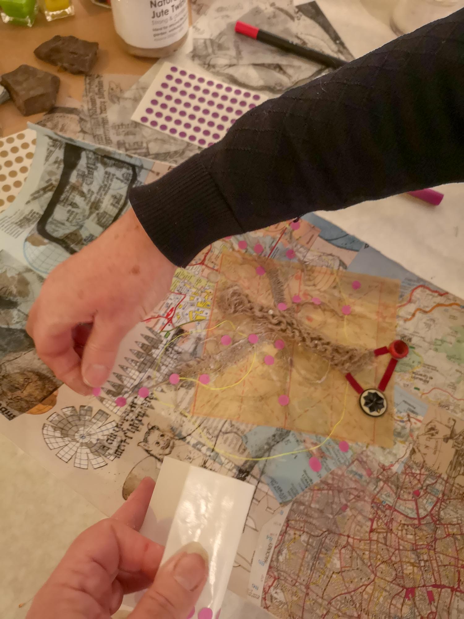
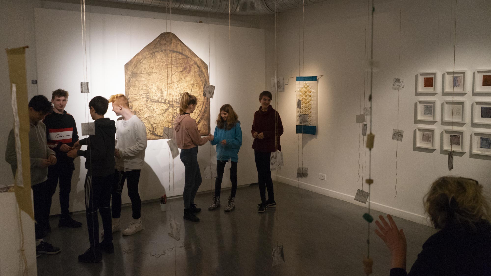
Medieval Mapping? A map that is not so much about how to get from A to B, but a tool for telling stories that help make sense of the world around us. In this Map of Mundi exhibition, I had been given permission by Hereford Cathedral to create and display a life-size copy of their Mappa Mundi, the largest surviving map of its kind. Full of stories – from the Old Testament, from myths and legends, from folklore, from history… a map brought to life by storytellers who would interpret it for visitors, leading them through strange worlds full of fascinating animals, peoples and places. If we too can see our world mapped out in stories what will we learn from them?
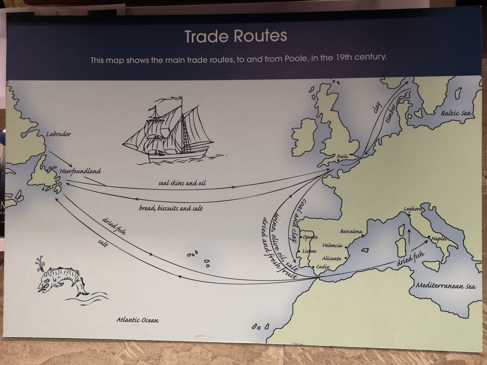
Modern Mapping? After we had launched the main St Thomas Way project in July 2018, I applied to Google StreetView for a 360 degree camera loan, which they gave me for 6 weeks. I used the camera to map parts of the trail in 360 degrees that were only accessible on foot – in Hereford, Patrishow, Abergavenny, Swansea & Llantwit Major – and publish them on Google StreetView. St Thomas Way became a Google Guide in its own right and people are able to access the trails remotely and see the medieval treasures from anywhere. These ideas of taking a place and presenting it elsewhere, or sharing a place, or leading others on an adventure are the ones I wanted to explore here.
What we did:


Outcomes:
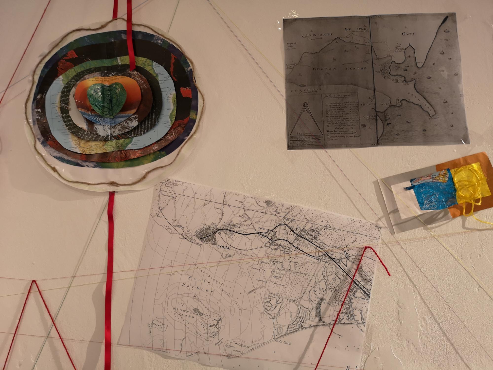
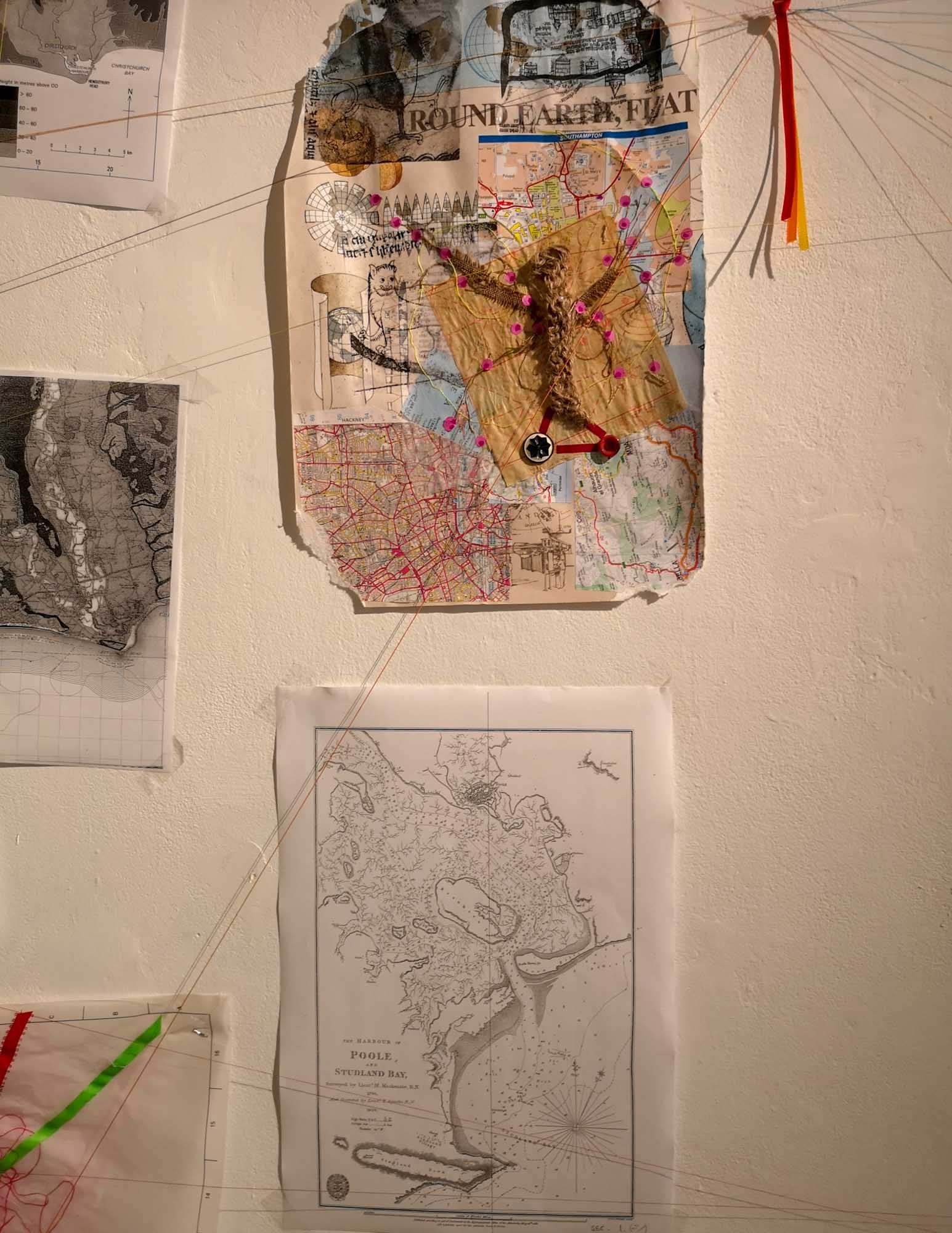
At the end of the week, I added the maps to the ‘Wall of Time’ in the gallery and again invited everyone who took part to drop in later throughout the exhibition, do more, and see how it was unfolding.
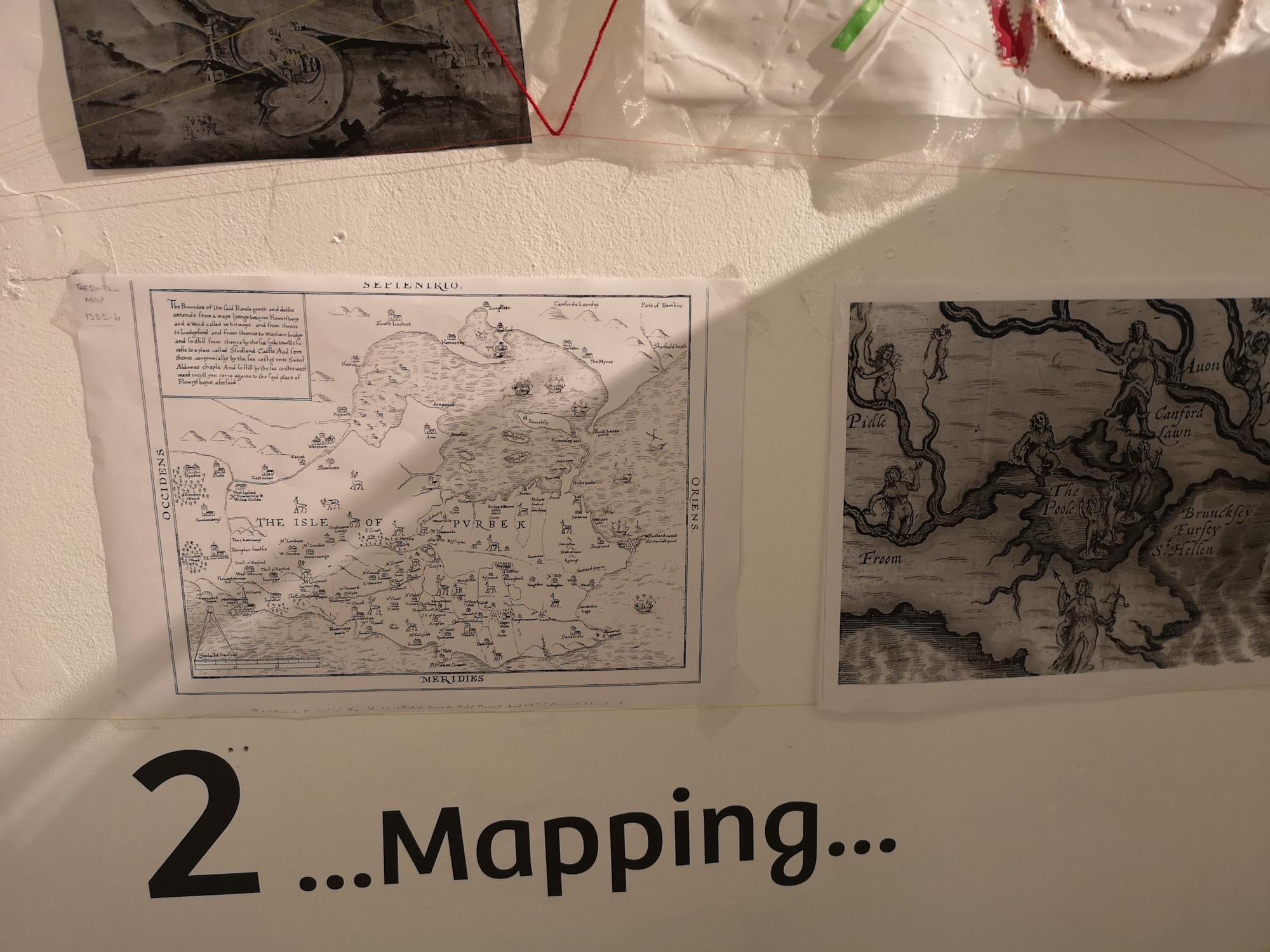
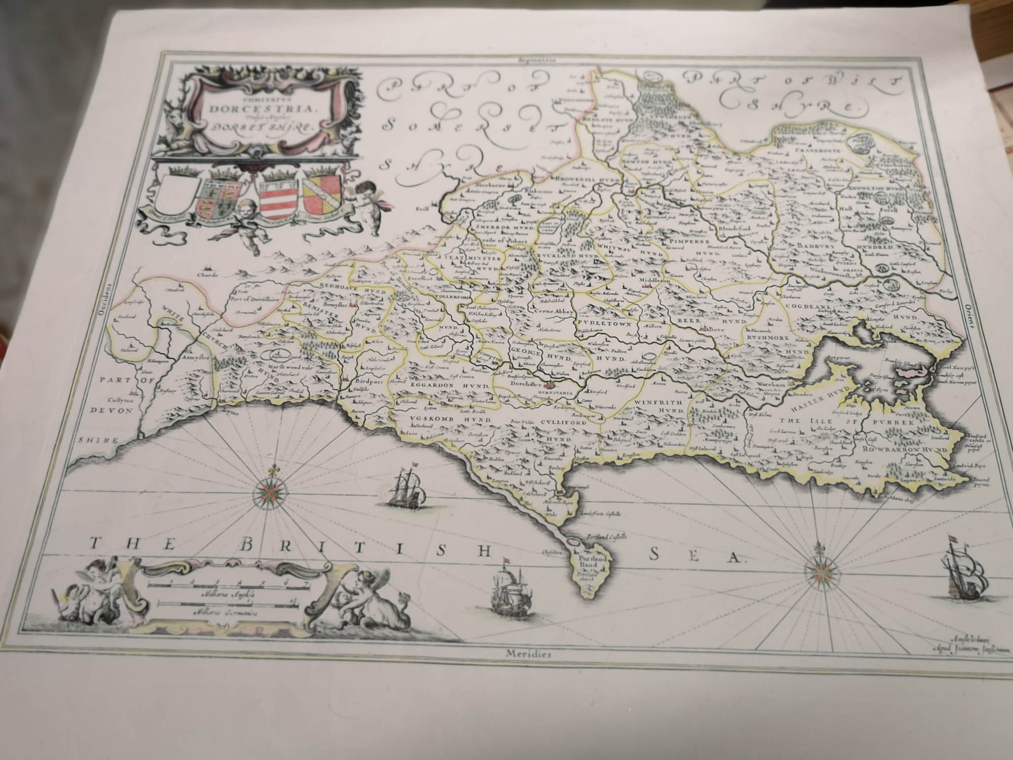
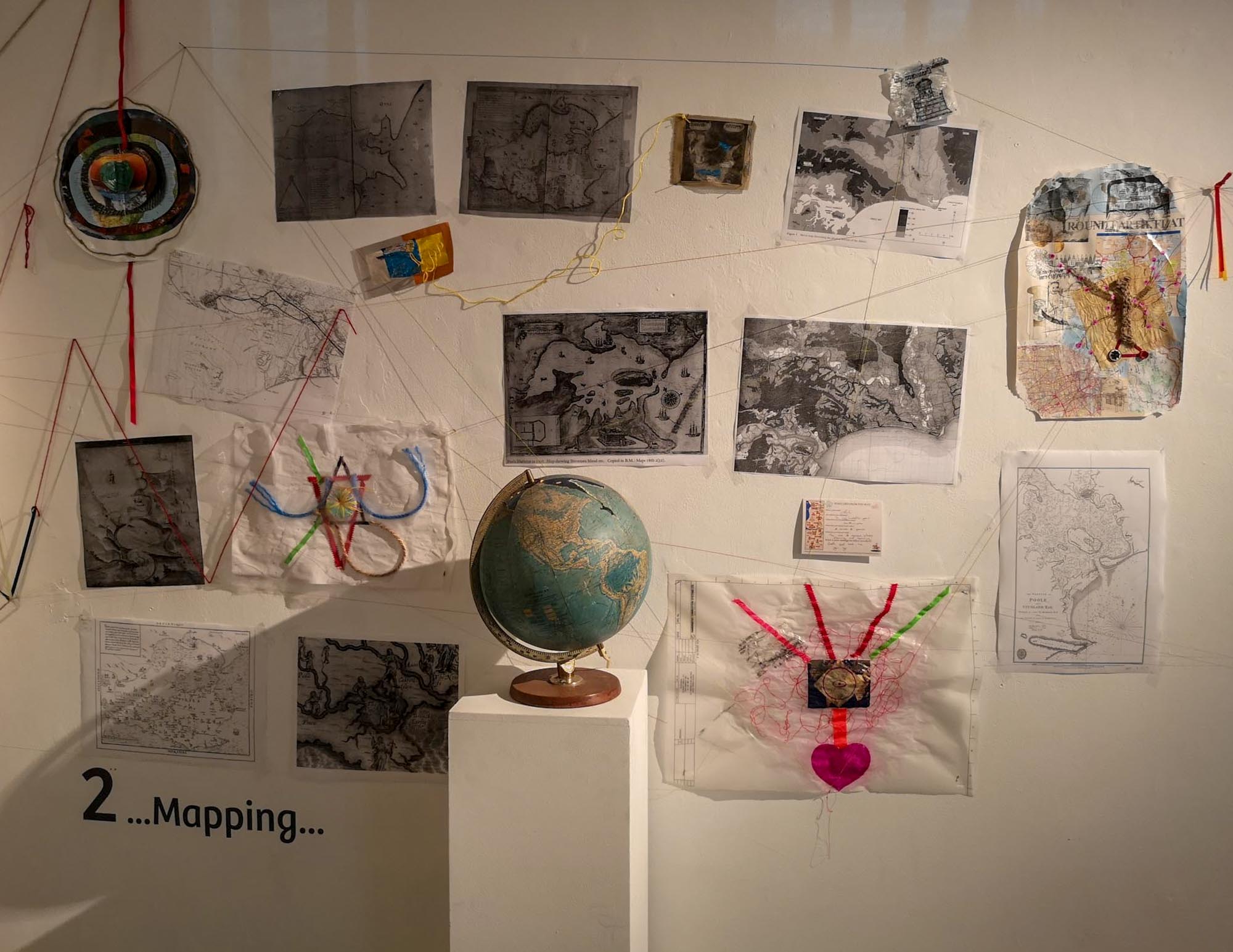
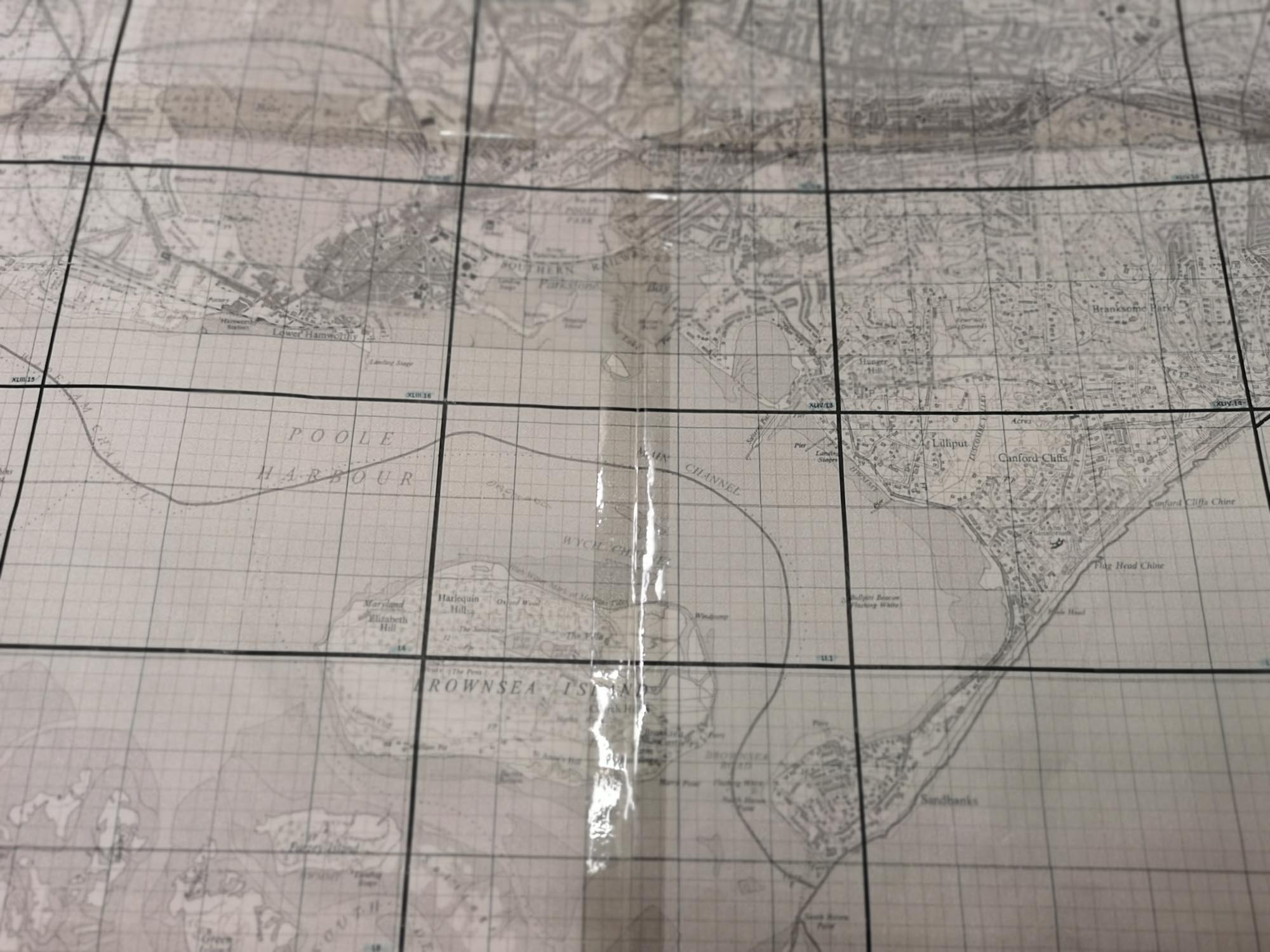
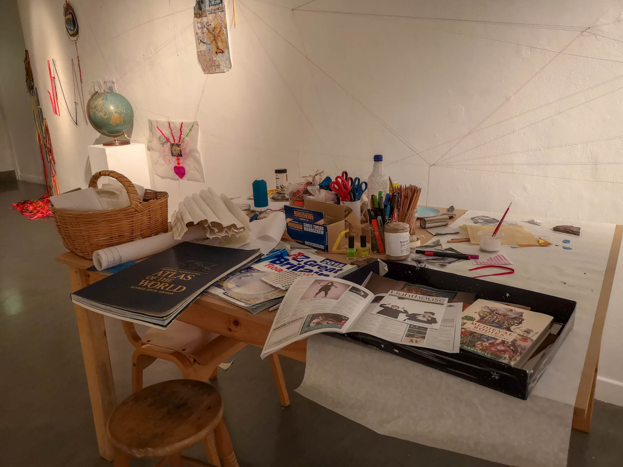
- I visited the map archives in Poole Museum and brought them into the gallery so that local historical maps could also be explored
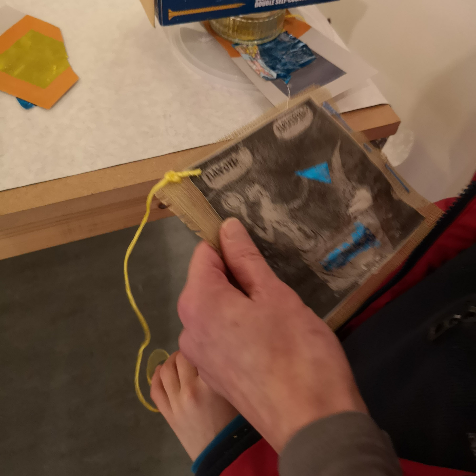
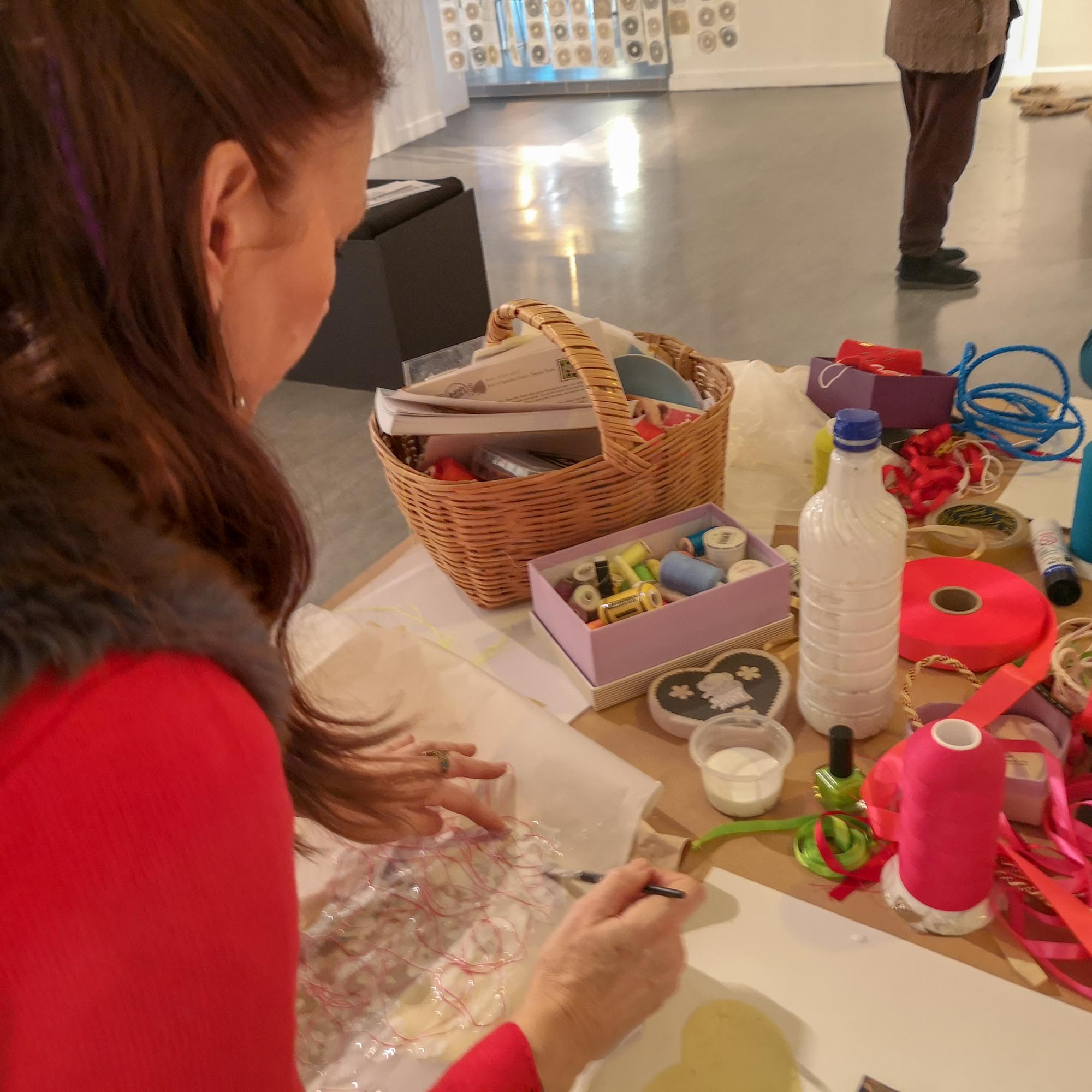
- People who initially said ‘I’m not arty’ or similar phrases joined in and made artwork themselves, which was then exhibited in the gallery
- Each workshop evolved from the initial idea/theme and was influenced as much by the participants themselves as by myself ‘leading’ it
- The Wall of Time continued to evolve telling the ‘story’ of the exhibition