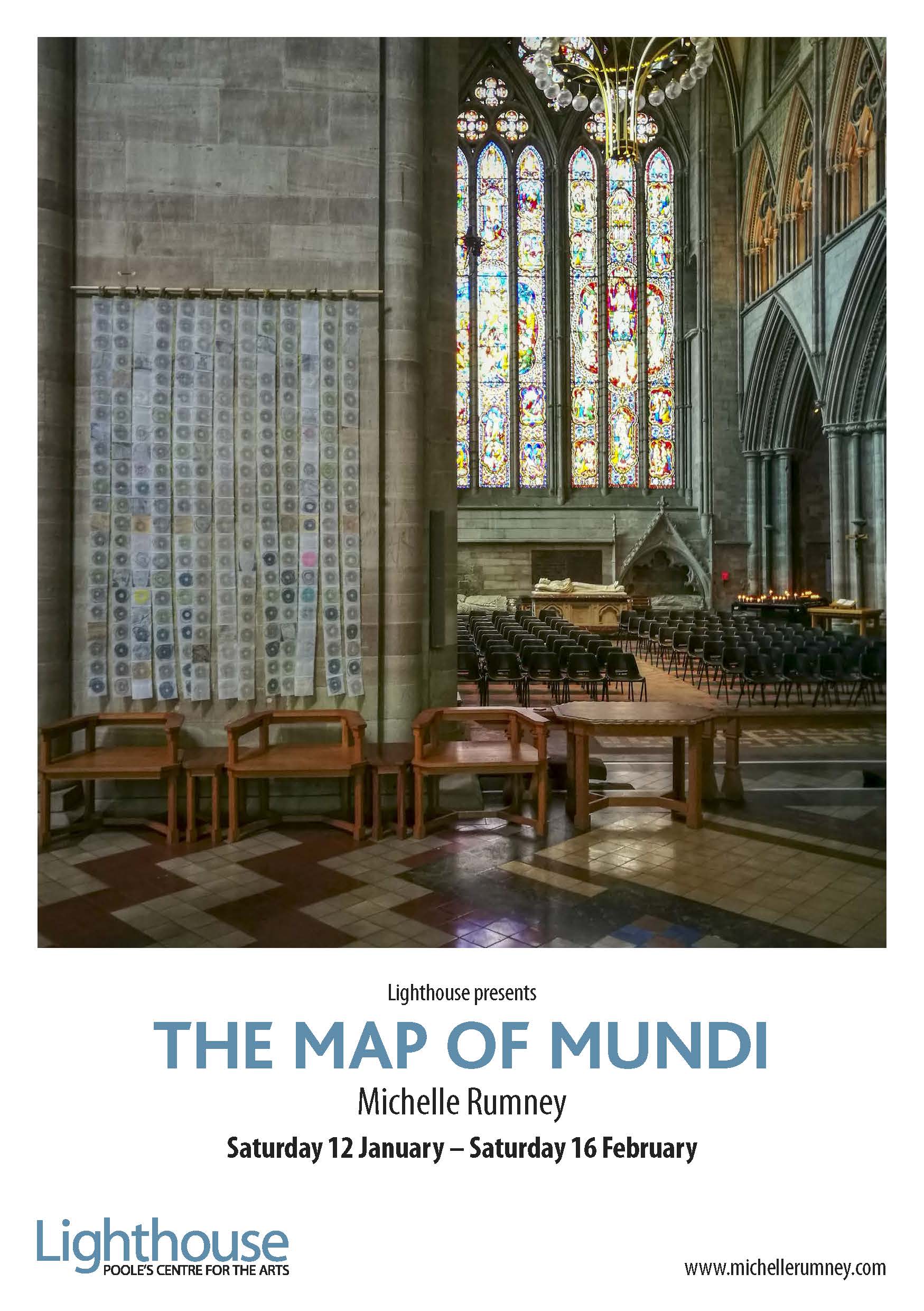
A Modern Medieval map?
The Map of Mundi was inspired by Hereford Cathedral’s infamous Mappa Mundi. It’s the largest surviving map of its kind and dates from approximately 1290. It’s stunning, and not at all a map in the way we understand maps today. I hope to include a life-size copy of the Mappa Mundi in this exhibition at Lighthouse.
Medieval Ways of Doing Things
The artwork for The Map of Mundi was created using the medieval practice of ‘Measuring to the Saint’. In 1290 this practice brought The Hanged Man of St Thomas Way, the heritage route now linking Swansea & Hereford, back to life – a miracle?
Over 250 people were measured to form the spirals of string that make up the 13 strands in this piece – one strand for each stop along the St Thomas Way. Poole is the first destination not on the actual trail.
Get Involved
There will be many ways to get involved with this new exhibition – weekly art/making workshops, Instagram opportunities, Measuring to the Saint sessions, and weekly themes comparing the Medieval and now, especially given our location in Poole with its rich history going back hundreds of years. Who knows what we’ll discover?
12 Days of Christmas in Llantwit Major
And meanwhile, if you’re in South Wales during the holidays, visit St Illtuds where the you can still see the previous exhibition ‘Re-Making Maps of the Mind: Medieval and Modern Journeys’. St. Illtud’s is such a special place, the oldest seat of learning in the UK, dating from the 6th Century. It’s full of surprises and welcomes visitors. The exhibition runs there until Wednesday 9th January 2019.